
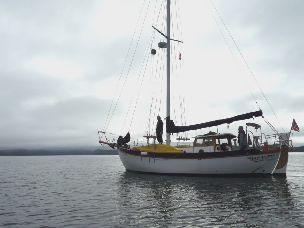
 I took this while circling Wecantu in Zodi. We used Zodi a few times to scout out rocks and depths in anchorages. If I had a dollar for every rock we had to avoid in the Broken Group....
 Exploring by kayak the shore of Willis Island. The clouds look low and dreary ahead, but we actually enjoyed decent weather most of the time. At the turn of the century (1901 or so) Captain Voss and his boat Tilikum spent some time in Barkley Sound in the month of June, and apparently the weather was so bad he had to wait six weeks before he was able to set sail. I found that out after I had already arranged for June vacation time.
The low clouds did hide a lot of the clear cuts in the foothills though, which made the views more scenic.
 This is a meadow on Benson Island, neighbor to Clarke Island. This was a very lush island. In the late 1800s there use to be a resort here. All that is left are the meadows, and lots of nettles.
 Here we are venturing out in Zodi to look for sea lions. To our right is Batley Island, to our left Wouwer Island, and dead ahead is the Pacific Ocean. The stuff on the water is sea foam caused by all the massive wave action that you can't quite make out in this photo. We did happen to see a few sea lions hauled out on a distant rock but were too chicken to take Zodi out into the rough seas.
 In calmer waters we would see lots of these guys. Pigeon Guillemots (I call them Pigeon Willies to avoid butchering the pronunciation of a French word) are an often spotted sea bird. Maybe not as exciting as whales, but I really like them. Their feet are bright orange and are quite visible on their aquatic take offs and landings.
 This is a meadow on Benson Island, neighbor to Clarke Island. This was a very lush island. In the late 1800s there use to be a resort here. All that is left are the meadows, and lots of nettles.
 Here we are venturing out in Zodi to look for sea lions. To our right is Batley Island, to our left Wouwer Island, and dead ahead is the Pacific Ocean. The stuff on the water is sea foam caused by all the massive wave action that you can't quite make out in this photo. We did happen to see a few sea lions hauled out on a distant rock but were too chicken to take Zodi out into the rough seas.
 In calmer waters we would see lots of these guys. Pigeon Guillemots (I call them Pigeon Willies to avoid butchering the pronunciation of a French word) are an often spotted sea bird. Maybe not as exciting as whales, but I really like them. Their feet are bright orange and are quite visible on their aquatic take offs and landings.


 Last weekend we had sunny weather, so we decided to mount the stern pulpit. The project actually went fairly hitch free. Drilled holes were straight and in alignment and only one thing got dropped in the water, and that item was expendable anyways.


