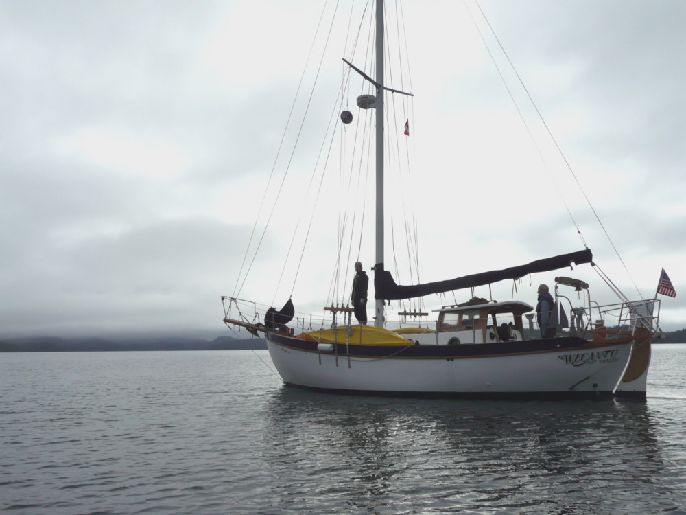
After our rest day at Neah Bay we got up really early to start our 54 nm leg to Ucluelet. Fifty four nautical miles doesn't sound like much, and compared to ocean crossings it's nothing, but at an average speed of 5 knots it meant about 10 solid hours of the two of us sitting in a small open cockpit of a Westsail 32 with
no auto pilot. (We meant to get one installed but the model we really wanted was on back order everywhere.) I learned just how wonderful an iPod can be. Our crossing up to Ucluelet was a relatively calm motor, so we both succumbed to some pleasant little cat naps. The trick was not to fall asleep while at the tiller.

This is Neah Bay marina, where fishing boats rule. We actually felt a little out of place.

We left Neah Bay at an hour when all the fishing boats were headed out. We liked the remote and wild feeling of this part of the strait.

This is buoy 'JA' out at the mouth of the Juan de Fuca strait and is one of many buoys which mark the middle of the shipping lanes. In the far distance you can see an inbound freighter. We were very happy to have our AIS receiver out here - we often knew who was coming even before we could see them. The info we get is a bit more basic than what the
marine traffic website offers but knowing the speed, course and position of these big beasts is plenty helpful.

We used our radar a bit too, for practice and for anchoring. (The photo shows a radar image of Sequim Bay.) It has a VRM (Variable Range Marker) function with which you can measure how far away different targets are. This was very helpful in many of our snug anchorages as it allowed us to know exactly how far away the shore or rocks were, and what our anchor swing was doing. Neither Matt or I are good at eyeballing distances yet, so it was nice to have the radar tell us that a rocky shore that seemed 'kinda close' was actually 300 feet away.

This was one of my favorite anchorages in the Broken Group, although all the anchorages had something neat about them.
This is at Clarke Island, one of the outer islands. A view to the open ocean is literally just right around the corner, giving the anchorage a wild air. We did some kayak exploration here, and in the photo Matt, and Bobbie and John (who met us at Toquart Bay to do several days of cruising with us) are returning to Wecantu for a bite to eat.

This is Zodi (an inflatable Zodiac) and her sidekick Suzi (a 4hp outboard). She was a recent aquisition and played a big role in this trip. We used her as our little 'commuter car' and took her day exploring to islands away from our anchorages. She also made it easy to anchor out (versus docking) at Ucluelet and Bamfield as she can carry either 4 people or 2 people and all their laundry and groceries. Our previous tender had been a borrowed sit on top kayak which made for a wet ride, and had a very small cargo capacity. The funny thing is Zodi can go about as fast as Wecantu, but she is nowhere near as seaworthy. She's got a pretty big attitude though.

 One day while we were out exploring at a low tide we found this sea cave, which was really more of a tunnel since it had two openings. It was cool but spooky and brought out the 10 year old inside each of us. "Wow, this is so awesome! This is the best sea cave ever!" "Yah! Cool!" That's Matt outside the cave. I'm glad the only things living inside this cave were very small sea creatures.
 One of the many beaches we explored. Amazingly, on most of these beaches we were the only people around. Everybody else was out fishing I guess. (They do say the fishing is incredible here.)
 This was one of my favorite beaches of the trip. It had rounded granite boulders, faced Imperial Eagle Channel so had great wave action, and also had sand and lots and lots and lots of little shells, many that were intact, many smaller around than a penny. The sand was covered with them. Treasures everywhere, and it was hard not to take any souvenirs!